OBJECTIVES:
- Interpret maps using the map keys and other features
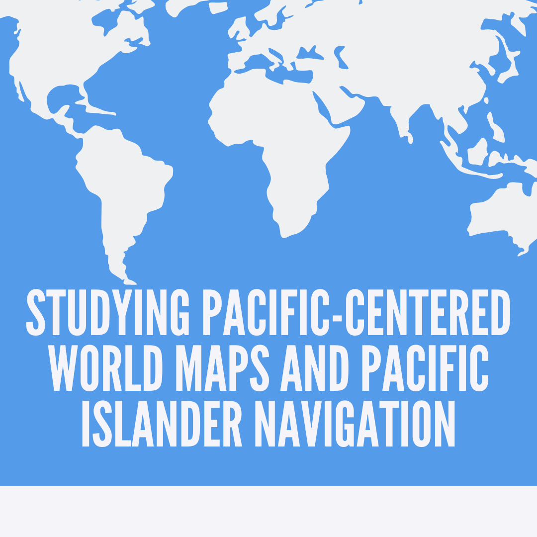
- Compare common world maps and Pacific-centered world maps
- Describe who Tupaia was and the significance of his map
- Create their own world map


OBJECTIVES:
World maps are posted on the walls in classrooms everywhere. The orientation of the continents and the oceans though are usually seen in a format where the Pacific Ocean and the Pacific islands are split to the ends of the map. In this lesson, students will discuss their thinking about world maps that are centered on the Pacific Ocean and compare them to the common orientation of our world map.
Lesson plan created in partnership with Diversify Our Narrative
